A Brief History.
The National Natural Landmarks program was started in 1962 and is managed by the National Park Service. Its goal is to find areas of the country that boast extraordinary examples of unique geology and biology. Currently, there are 587 National Natural Landmarks throughout the United States, eight of them in southern Illinois, six of those are located inside the Shawnee National Forest.
What's So Special About Southern Illinois?
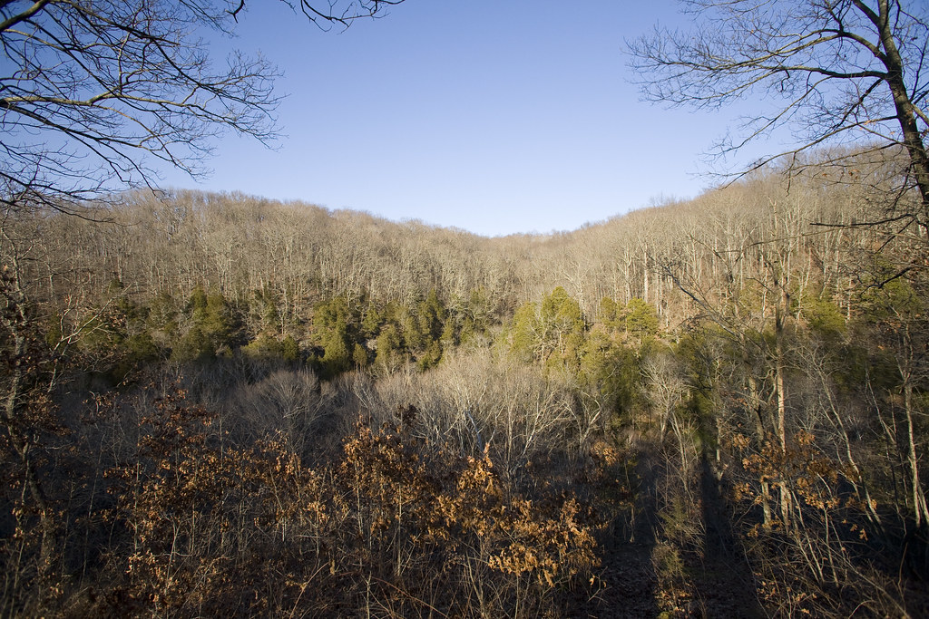
Most people think of Illinois, they usually associate our state with rolling corn fields. Most wouldn't believe that much of southern Illinois is far more topographically a part of the Ozark highlands of southern Missouri and northern Arkansas.
During the United State's last glacial period, around 20,000 years ago, a massive glacier known as the Laurentide Ice Sheet continually moved up and down, expanding and retracting, through what would become the State of Illinois. The grinding effects of the glacier left most of the Midwest, including nearly all of Illinois, as flat a a pancake. The glacier stretched as far south as St. Louis, MO, leaving everything to the north flat, while everything to the south remained untouched and geologically intact.
All of that water that melted off of the glacier during its periods of expansion and recession carved some remarkable geological features in the sandstone bedrock, leaving behind enormous canyons, cliff faces, and bizarre rock formations, many of which have been designated as National Natural Landmarks.
The Landmarks.
The Southern Illinois National Natural Landmarks are:
- Little Grand Canyon
- Heron Pond - Little Black Slough
- LaRue Pine Hills
- Horseshoe Lake Nature Preserve
- Giant City Ecological Area
- Bell Smith Springs
- Lusk Creek Canyon
- Lower Cache River
Mission Statement.
This website will be dedicated to the documentation of the National Natural Landmarks in southern Illinois through the use of photography. Aside from photography, I will also try and give a brief history of each of the landmarks, a description of the trails and things that you need to see when you visit them, as well as other outdoor recreational opportunities in the surrounding areas.
This project is an independent study for the school of journalism at Southern Illinois University Carbondale.
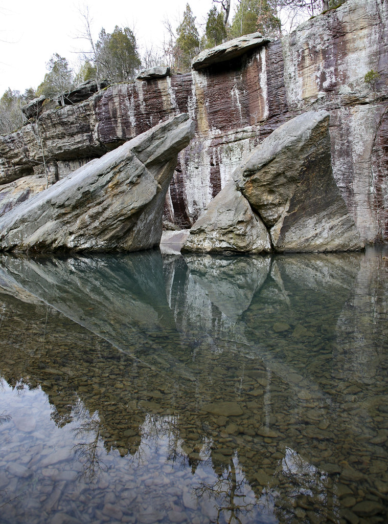
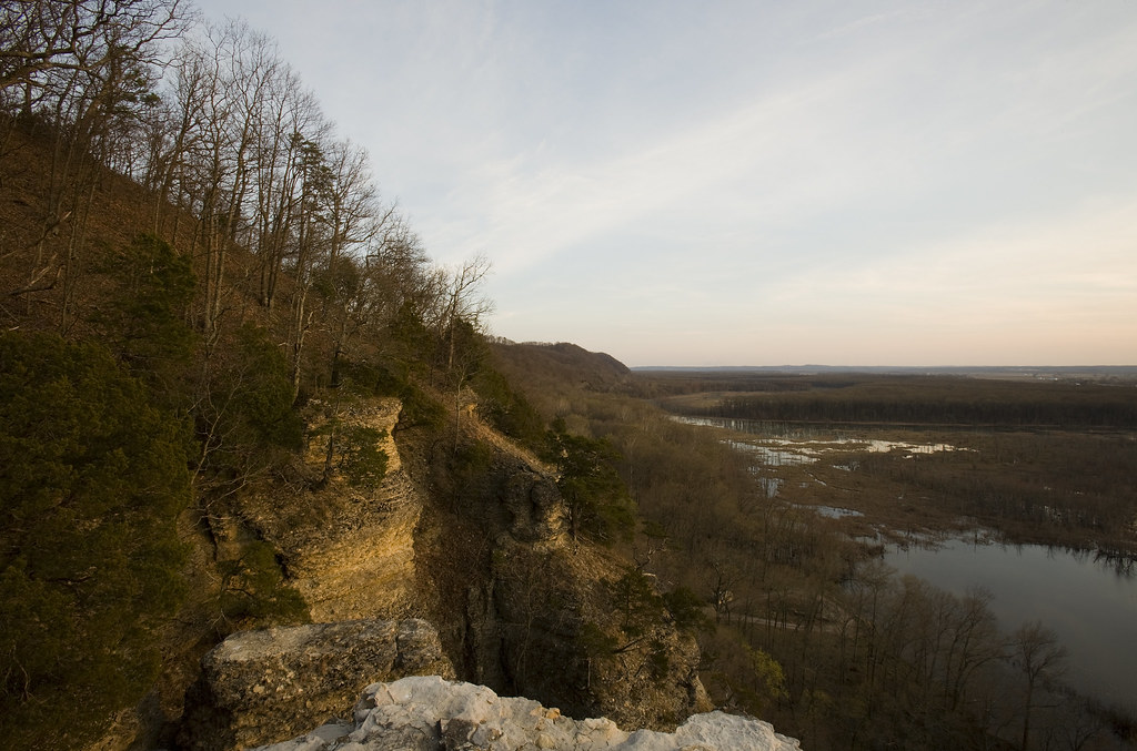
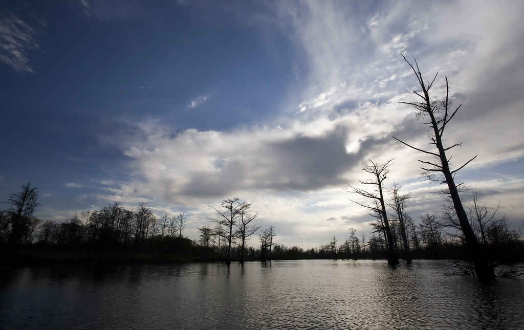
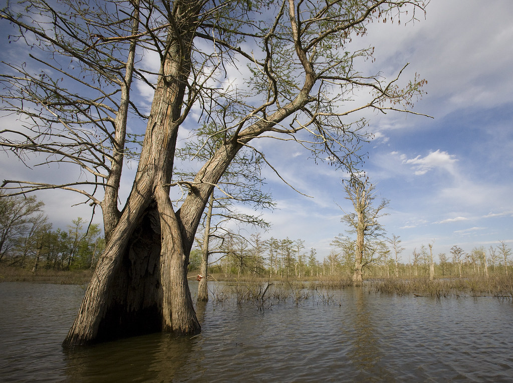
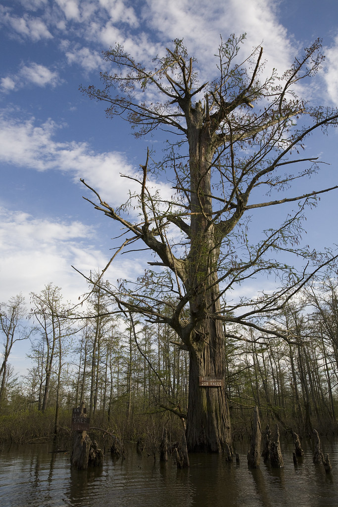
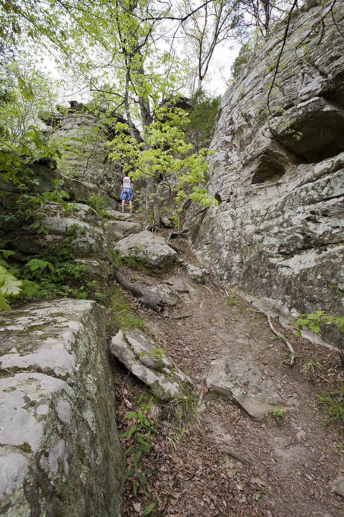
The Little Grand Canyon

The Little Grand Canyon Area was designated as a National Natural Landmark in February of 1980. It consists of a series of steep valleys and a single main canyon. The canyon was carved by a tributary of the Big Muddy River, which runs parallel with the landmark and it's canyons. A well marked trail winds 3.5 miles through the canyon and along the cliffs that tower overhead and offers some spectacular views of numerous waterfalls, sandstone rock formations, and breathtaking vistas - one of which gives you a view of Fountain Bluff, the Big Muddy River, and even the Mississippi River on a very clear day.
While in the area, be sure to check out the Pomona Natural Bridge, located just outside of Pomona, Ill. Fountain Bluff is also a worth-while drive and can be reached within 20 minutes of leaving the Little Grand Canyon parking lot.
Little Grand Canyon, located in Jackson County, drive south from Murphysboro to Etherton Road then go west.
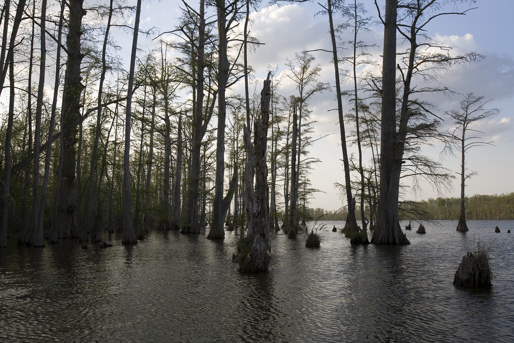
Herron Pond - Little Black Slough

Herron Pond, in Johnson County, south of Vienna and west of US Hwy. 45.
LaRue Pine Hills


LaRue Pine Hills, in Alexander County east of Highway 3, seven miles south of the city of Grand Tower.
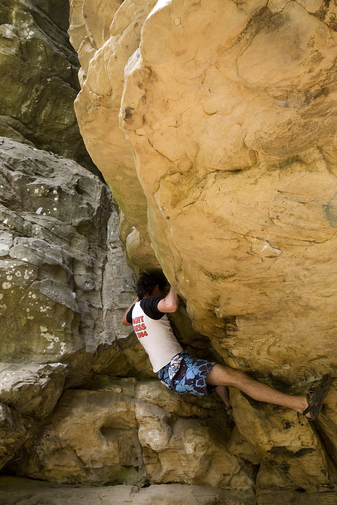
Bell Smith Springs
 Sentry BluffA walk along the Bay Creek Trail at Bell Smith Springs brings hikers to the ship rocks.
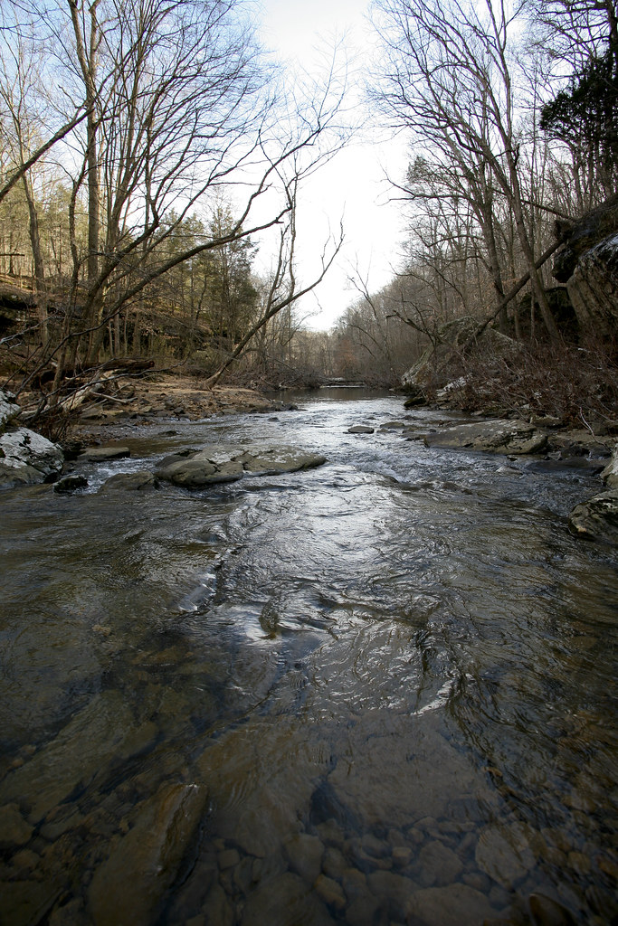 Early spring melt waters in Bay Creek.
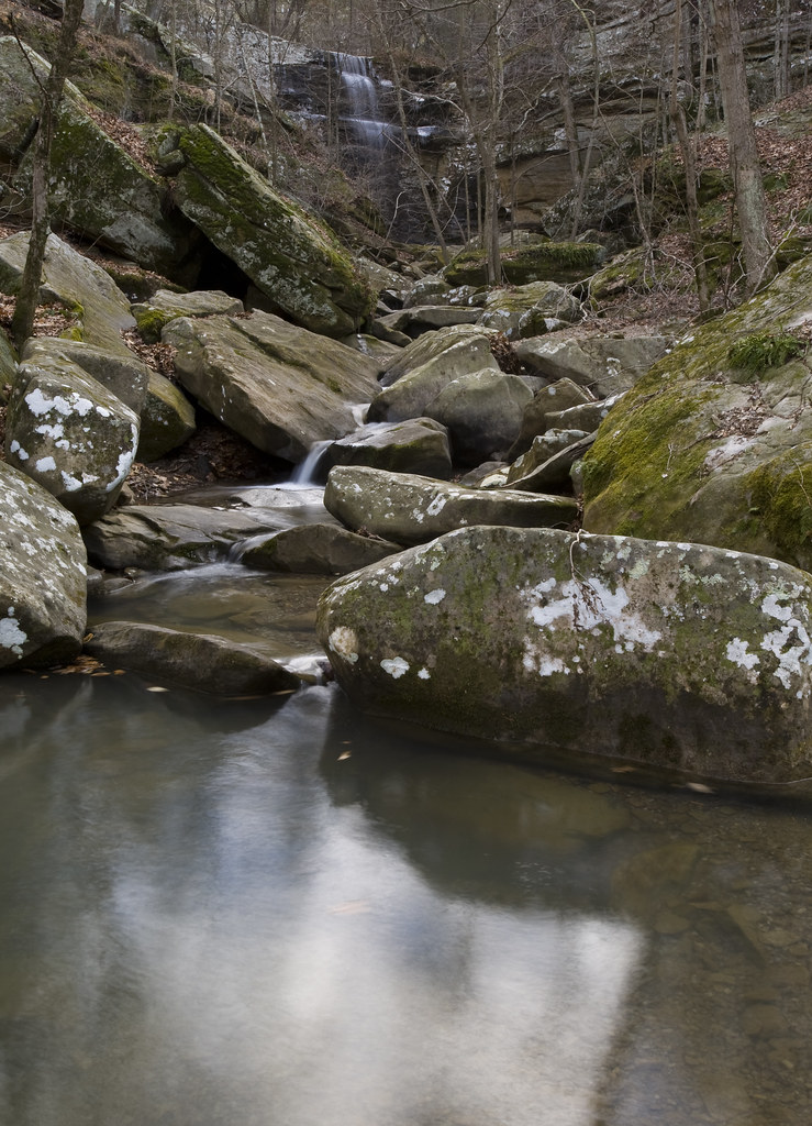 *Burden Falls (pictured above), is in the Burden Falls Wilderness and is located just outside of Bell Smith Springs. It is the largest continuous waterfall in Illinois, falling just over 100 feet.
Bell Smith Springs, in Pope County, is south of Harrisburg. Take Illinois 145 to Delwood, then west on the gravel road past Burden Falls.
Lusk Creek Canyon


Lusk Creek Canyon, in Pope County, south of Harrisburg. Take Illinois 145 to Eddyville, then left to Indian Kitchen Road, then left again for two miles.
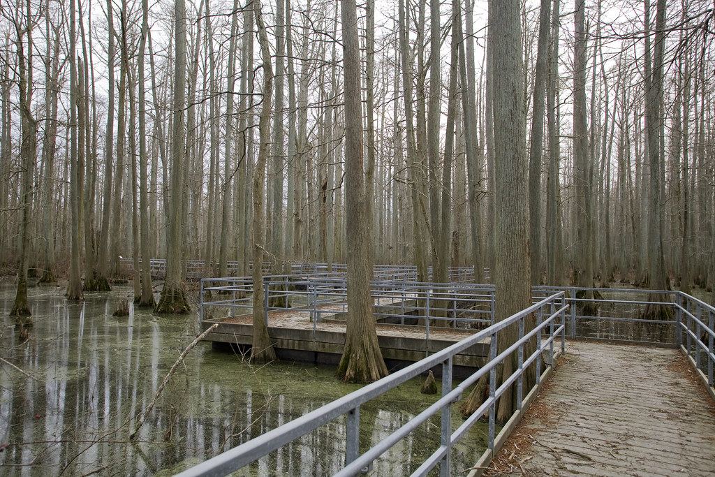
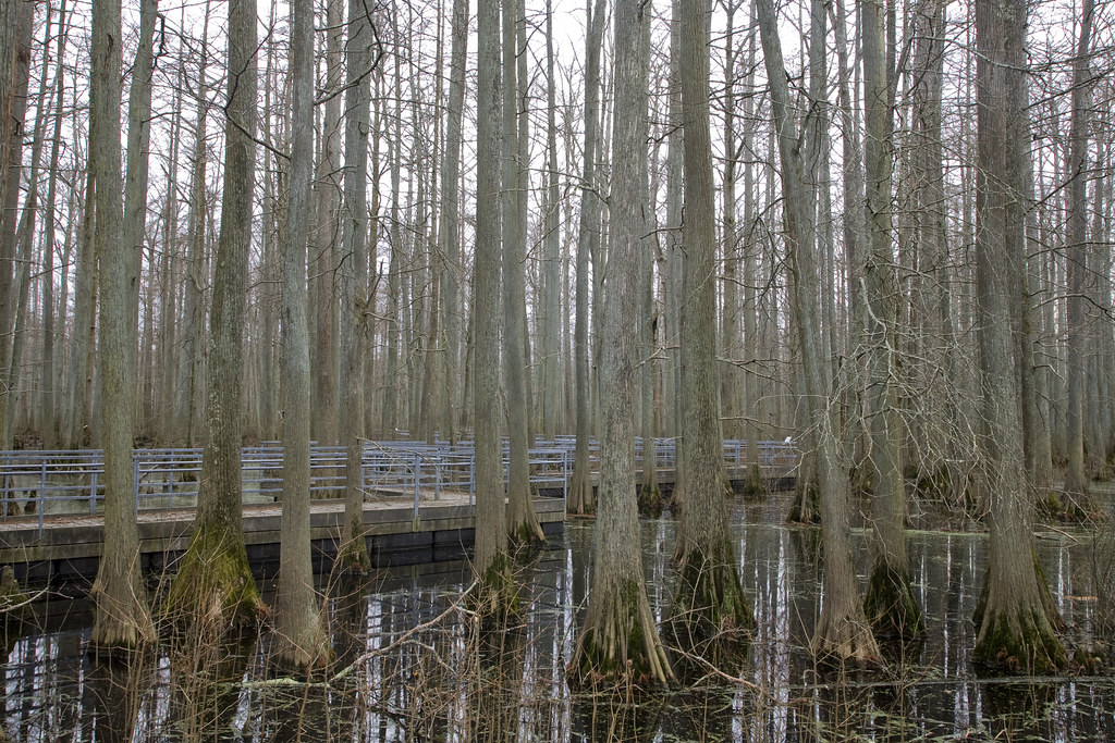
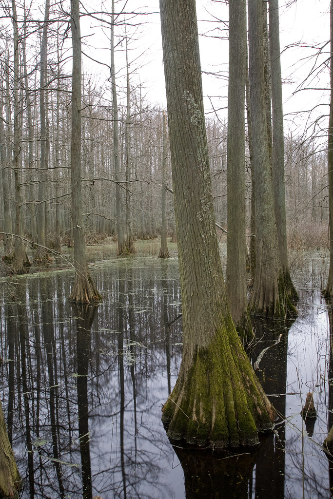
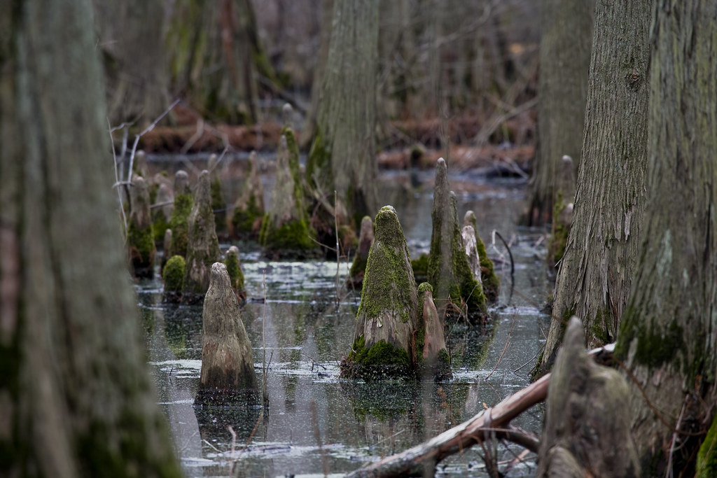
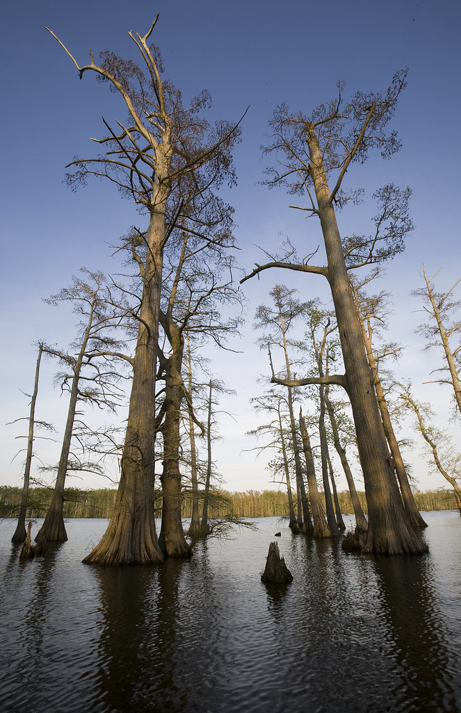
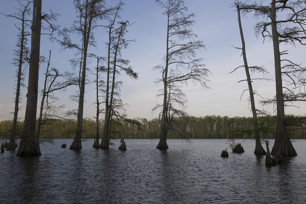
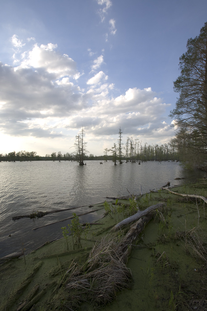
Lower Cache River

The Lower Cache River is located East of Illinois Hwy. 37, north of Karnak.
Giant City Ecological Area

Giant City is located south of Carbondale on US Hwy. 51, then east at Makanda.
Horseshoe Lake Nature Preserve
Horseshoe Lake is located at the southernmost tip of Illinois, just east of Illinois Hwy. 3, seven miles north of the city of Cairo.
____________________________________________________________________
This project is an independent study supervised by professor William Recktenwald, senior lecturer and the journalist-in-residence at Southern Illinois University Carbondale's journalism department.
All photography on this website was taken and is copy written by Bobby Samat - bobbysamat@yahoo.com.
No comments:
Post a Comment
Note: Only a member of this blog may post a comment.